From a February 2013 walk in Hockomock Swamp.


But a brilliant afternoon yesterday after a weary week of work invited me back just to check in. My boots were on my feet and shiny new snowshoes in the trunk (just in case the remaining snow justified them).
Stepping onto the embankment, I found the snow packed by heavy machinery. Had earth-movers had been using it to turn around? No: the tracks ran straight on along the embankment as far as overhanging trees allowed me to see.

Heavy traffic within the last few days.

The second vehicle had wheels at least two feet in diameter.

The tracked vehicle's traces are overlain first by the V-tread,
which is then scored by the motorbike (presumably a recreational rider).
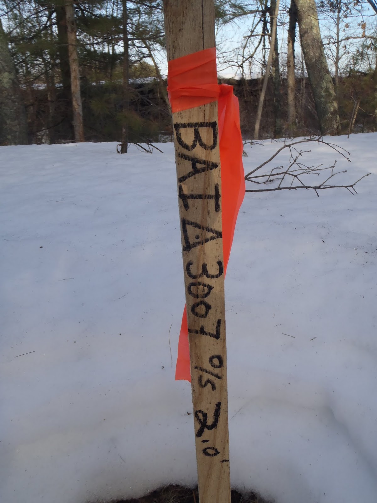
Surveyor' stake. Who can decode it? The last number might be
an elevation in feet (its value varied little from stake to stake),
but above what baseline? Water table seems unlikely.

The gray color of the soil in this excavation shows it is waterlogged,
so the iron oxide that would normally redden it is in reduced form.
There were signs of three vehicles: one leaving a track like that made by a tank-type tread, partly obscured by a second vehicle with two-foot wide wheels leaving a V-track, and then a motor bike with knobby tires. I followed them for a good half-hour, although I probably didn't get half a mile. Nevertheless the vehicles appeared to be making a one-way trip, which means they might have turned onto a power-line right-of-way that crosses the embankment near the north end of the swamp forming part of the Bay Circuit Trail, and then crosses a road that borders the swamp.

The powerline right of way is popular with the ATV crowd. (Feb 2013)
Plainly no development could happen off the embankment; perhaps a road was going in? But that makes no sense to me, since a main road roughly parallels the embankment only a few tenths of a mile away. I left the swamp after perhaps an hour, upset by the discovery.
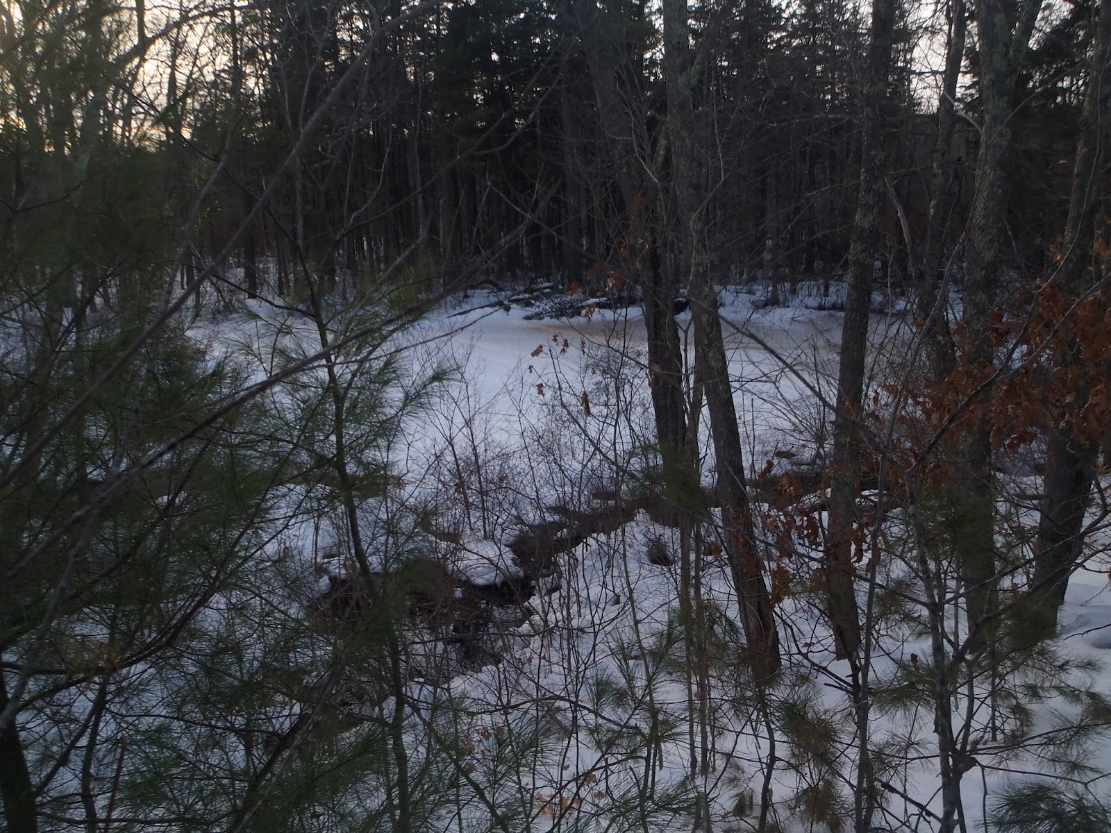
The Swamp itself--off the embankment--remains wild,
and what damage has been done on the embankment is largely superficial, so far.


After an hour on the web, I am only a little the wiser. As an Area of Critical Environmental Concern, and a wetland buffer full of rare and endangered species, the roughly one-third of Hockomock that is not in private hands belongs to the state Division of Fisheries & Wildlife as a Wildlife Managament Area. The rules for WMAs would seem to preclude development of any kind, to say the least. Several private companies operate on the border of the swamp, at least one of which operates heavy vehicles: are they using it illegally? The stakes make it look rather "official".
Oh--probably there will be a new power line on the embankment. That would make sense. I hope it's true. For now, though, the mystery remains.
No comments:
Post a Comment